The Wild Days guide
A family friendly peak or a tough winter climb
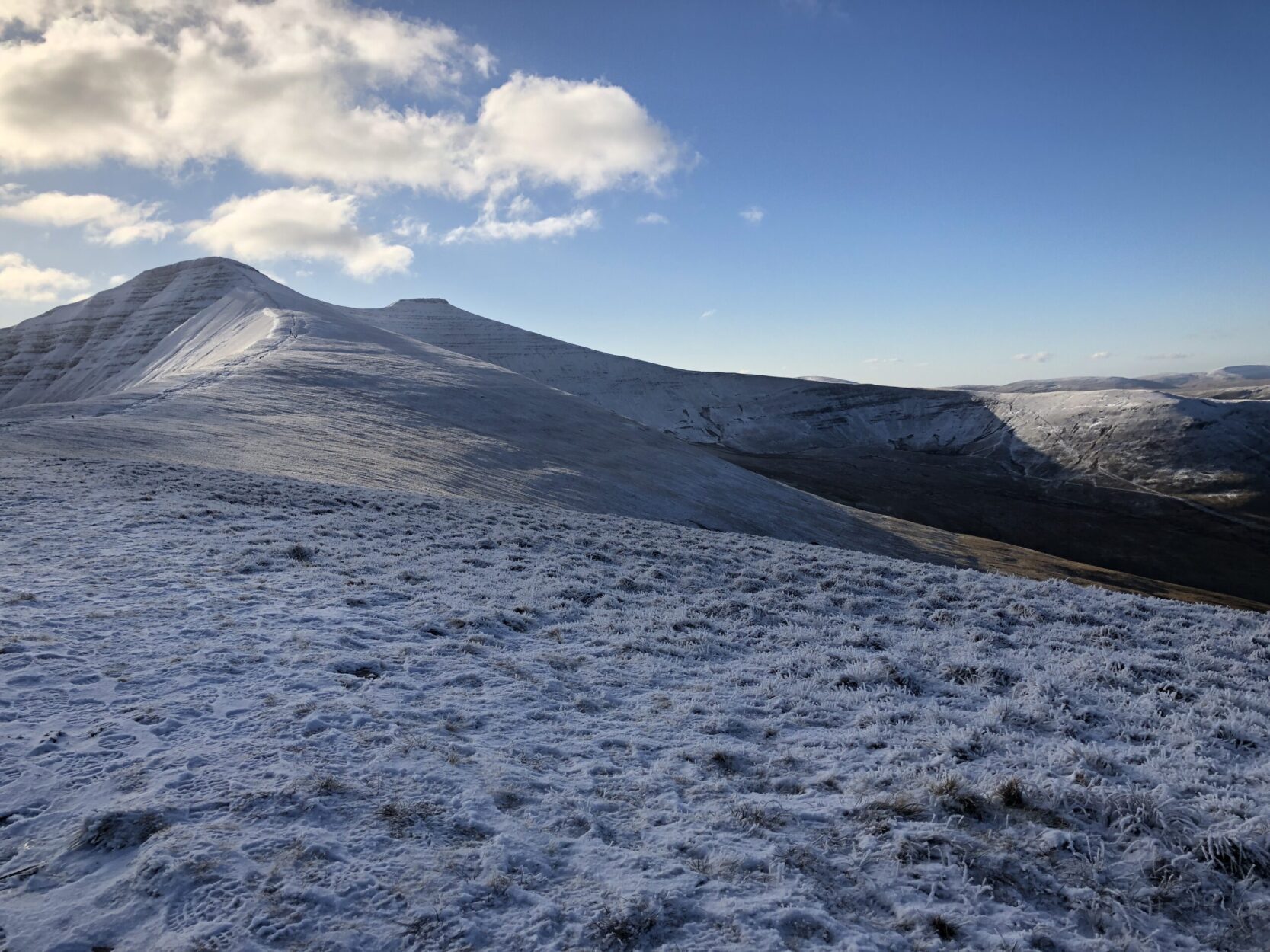
Whether it’s a winter climb or a summer stroll, Pen Y Fan never fails to disappoint. In the middle of summer you’ll be one of hundreds on the mountain, however winter is a different story with only a brave few ascending in the deep snow.
We’ve been up in all weather, on various routes. Our favourite route is the ascent from Cwm Gwdi, it’s tougher than the popular tourist route, it’s longer but prettier. In winter months it’s quite treacherous, so please be prepared. We’ve encountered many days where the weather had been so bad that turning back is the only option. If you’re planning on climbing during the winter period, be prepared for high winds, sudden changes of weather and zero visibility. A compass, map, phone, food, water and basic survival gear is essential if climbing in the winter months. It might not be a challenge in summer, but in winter it’s a different story so please don’t underestimate it.
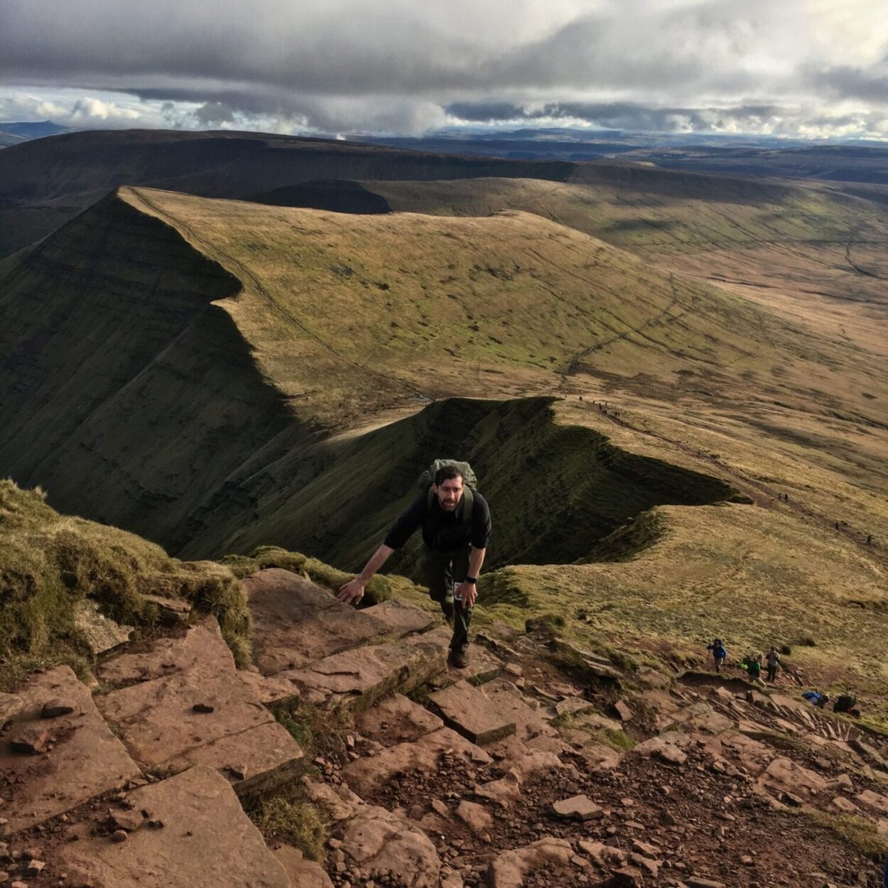
The hike up from Cwm Gwdi winds up the valley onto one of the horse-shoe shaped ridge lines. You can take in the stunning scenery whilst walking the ridge, up to the final steep climb to the summit.
The scenery
You have many options when you are there, you can tackle Jacobs Ladder, the infamous steep and dangerous stretch or visit Llyn Cwm Llwch swimming lake over to the North East of the peak. You can find it by heading over to Corn Du and descend down the North East ridge, there is a worn path off the ridge down to the lake.
The Fan Dance
You may have heard of the legendary Fan Dance, part of SAS selection. The recruits have to complete the circuit within a certain timeframe carrying full military gear. You can take part in a simulated military style exercise ran by ex SAS personal. The event is ran by Avalanche Endurance Events and is a very popular and successful event in the annual race calendar.
Recommended Hike
We like to think of this as the best route to get uptp the summit, avoiding all the crowds during the busy periods. Start at the car park and work your way up the valley onto the horseshoe ridge. You then follow the ridge until the base of the summit. You’ll encounter a few false horizons on your way up, so keep moving until you hit the ridge, the views are amazing!