The Wild Days guide
Yr Wyddfa is the highest mountain in Wales and the busiest in Britain: more than 600,000 people reach its 1,085 m summit every year, on foot or by train. Six main paths climb it from every side, and on a clear day you can see 18 lakes and 14 peaks over 3,000 ft, sometimes as far as Ireland, the Isle of Man and the Lake District.
Why it’s worth the climb
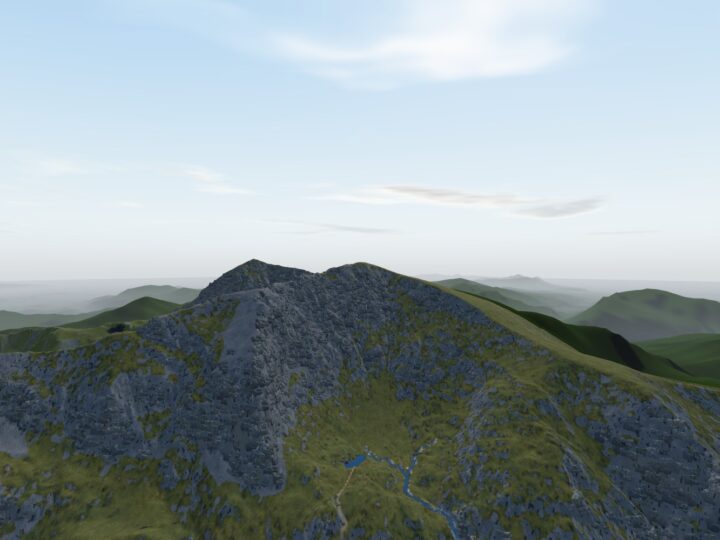
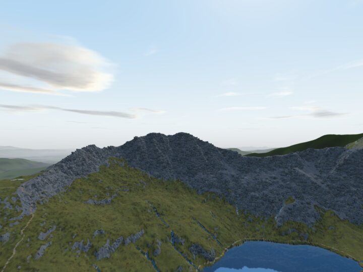
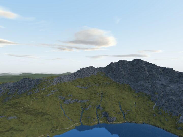
This is a proper mountain, carved by ice from volcanic rock into a sharp peak ringed by ridges and deep cwms (the Welsh word for a high, bowl-shaped valley). From Pen y Pass, the Pyg Track and Miners’ Track look down on Llyn Llydaw and Glaslyn, lakes once worked by copper miners. The causeway across Llyn Llydaw was built in 1853, and the builders found a prehistoric dug-out canoe in the mud.
The name Yr Wyddfa grew from a word for a high place that came to mean a burial cairn. Legend says the giant Rhita lies under the summit. The Snowdon Mountain Railway has carried visitors up from Llanberis since 1896, and the summit building, Hafod Eryri, has a cafe in the railway season.
The routes up
The National Park grades all six main paths Hard/Strenuous, and none of them is easy. The Llanberis Path is the most popular and the longest (14.5 km there and back), climbing beside the railway at a steady angle. The Pyg Track (11 km) and Miners’ Track (13 km) start from Pen y Pass, the highest start, and many people go up one and down the other. The Rhyd Ddu (12 km) and Snowdon Ranger (13 km) paths are quieter routes from the west, and the Watkin Path (13 km) is the biggest climb, starting almost at sea level in Nant Gwynant.
Crib Goch is not one of the six paths. It is a Grade 1 scramble along a knife-edge ridge east of the summit, reached from the Pyg Track, with steep drops on both sides and no easy way off. People regularly get stuck there, unable to go on or back, accidents are common and walkers have been killed. Only go if you are an experienced scrambler, in dry, calm weather, and never with a dog.
Staying safe
Check the mountain forecast. Look at the MWIS forecast for Eryri and the Met Office mountain forecast for Snowdonia, and the National Park’s ground conditions reports on Yr Wyddfa Live. The summit is much colder, wetter and windier than the valleys, and its slopes are among the wettest places in Britain.
Leaving the summit is the trap. In cloud, paths spread in all directions. Each main path is marked by a standing stone where it leaves the ridge: at Bwlch Glas for the Llanberis, Pyg and Miners’ paths, and about 200 m down the Rhyd Ddu Path for the Watkin, which does not start at the summit. Do not follow paths that seem to head straight down towards Glaslyn: they fade out on loose scree above big drops, and people have died there. Carry OS Explorer OL17 and a compass, know how to use them, and note each standing stone on the way up.
Steep and loose sections. The Miners’ Track climbs a steep, slippery scree path above Glaslyn. The top of the Watkin is extremely steep and loose. The Rhyd Ddu Path narrows above a steep slope at Bwlch Main.
Winter is a different mountain. The National Park says you cannot reach the summit in winter conditions without crampons and an ice axe and the skills to use them. Never walk down the railway line in snow: above Clogwyn Coch it leads on to steep ice above cliffs about 1,000 ft high, an accident blackspot that has killed several walkers.
Kit and time. Wear walking boots and carry waterproofs, warm layers, food, water, a torch and a first aid kit. Allow 6 to 7 hours for most routes. Start early, especially on summer weekends, and decide on a turn-back time. The train may not run in high winds, so be ready to walk down.
Emergencies. Call 999, ask for the Police, then Mountain Rescue. Register your phone first by texting “register” to 999. A grid reference or what3words location helps.
Yr Wyddfa suits fit walkers who are comfortable on steep, rocky ground for a long day. If you are new to mountains, choose a clear summer day and the Llanberis or Miners’ path.
When to go
Late spring to early autumn gives the long days you need. Go early or midweek to avoid the crowds and the summit queue. The railway and Sherpa’r Wyddfa high-season buses run until the start of November. From then until about April, expect snow and ice on top, short days and full winter conditions.
Good to know
- Parking: Pen y Pass must be pre-booked through JustPark in the main season (£25 for up to 8 hours, £45 for a full day in 2026). Otherwise park at the Nant Peris Park and Ride (£5 a day, card only) or in Llanberis and take the Sherpa bus. Do not park in lay-bys on the road to Pen y Pass or walk up that narrow road. Watkin Path parking at Pont Bethania is very limited.
- Buses: Sherpa’r Wyddfa buses stop at the start of all six paths, which also lets you go up one path and down another.
- Train: the Snowdon Mountain Railway runs from Llanberis in season. Single tickets down can only be bought at the summit, if seats are free.
- Toilets and food: cafe at Pen y Pass, refreshments at the Halfway House on the Llanberis Path in summer, the summit cafe in season, and toilets at Nant Peris and Rhyd Ddu.
- Dogs and livestock: keep dogs on a lead across farmland, and never take one on Crib Goch.
- Litter: carry a refillable bottle and take everything home.