The Wild Days guide
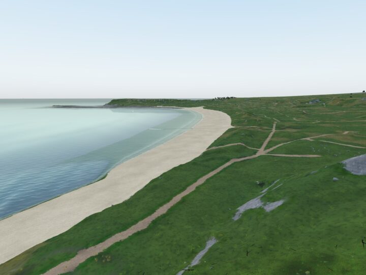
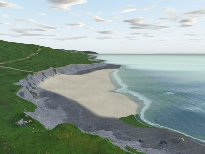
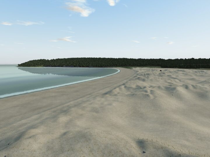
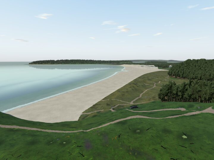
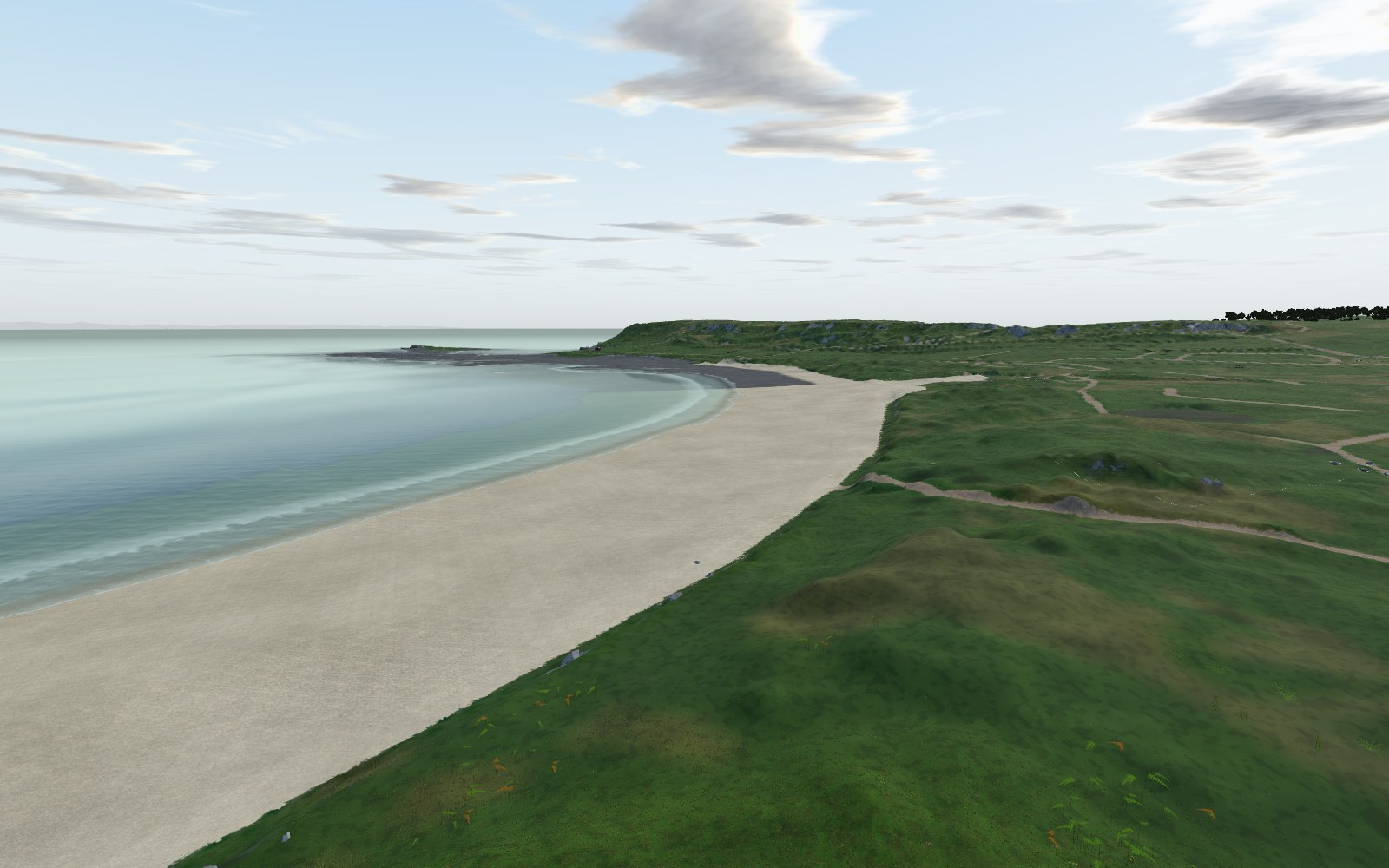
Port Eynon is where the south Gower road runs out of land: a long curve of sheltered sand, a village of pubs and chip shops behind it, and a wild, quarried limestone headland at its western end. Spend the morning on the beach, then walk past the ruined Salt House onto the Point and round to Culver Hole, a medieval wall built across a sea cleft and wrapped in smugglers’ tales.
Why it’s worth the trip
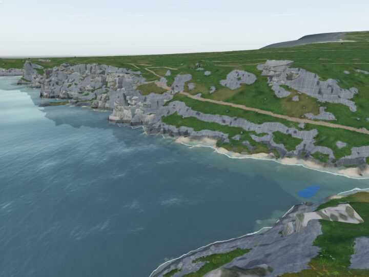
This is the busiest beach on this part of the coast, but the wildness starts five minutes west of the car park. Walk past the youth hostel onto Port Eynon Point, a Wildlife Trust reserve of gorse, limestone grassland and old quarry faces, and from the tip you can see the whole south coast and Devon across the water.
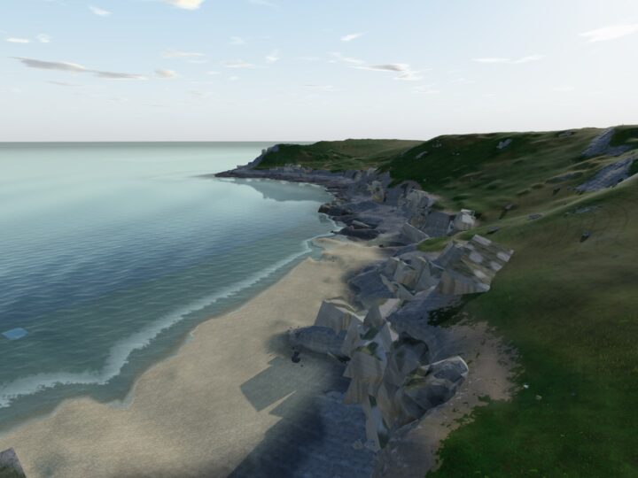
The sheltered sand runs east to Horton, but at low water the shore below the Point opens into shelves, gullies and small caves, and that is where the real exploring is.
Make a wild day of it
Swimming
On a calm day this is a good, sheltered swim, best from mid tide upwards. Stay away from the rocks at both ends and the slipway, where boats launch, and in summer swim between the flags.
Surfing
The bay mostly suits beginners, when a big south-westerly swell wraps in small, soft waves. The right-hand reef off Port Eynon Point has a steep take-off and is for experienced surfers only, best from low to mid tide on the push. Horton is the more reliable beach break, and flat days are perfect for a paddleboard or kayak.
Rock pools and caves
At low tide the shelves below the Salt House and round the Point are full of pools. Culver Hole sits in a cleft on the west side of the headland, reached only from mid to low tide over slippery, weedy rock; the cleft floods as the tide comes in, and the wall is not safe to climb. The Point’s small caves, which have turned up prehistoric bones, need a scramble and are only reachable for an hour or two either side of low water.
Wildlife
In spring the cliff top is bright with spring squill, thrift and sea campion, and stonechats and rock pipits are about all year. The Point is one of the region’s best seawatching spots: at first light in late July and early August Manx shearwaters and gannets stream past in big numbers, and divers turn up in January and February. Watch for harbour porpoise, and give resting grey seals plenty of room. Round at Overton Mere, look for oystercatchers at low tide and green tiger beetles on the path in summer.
The rocks
The headland is Carboniferous limestone, quarried hard in the 18th and 19th centuries, and its old quarry faces now carry lime-loving plants. Look for an older coastline too: a flat platform at about 60 m ends at a partly buried sea cliff, and the seaward plateau at Overton Mere is a raised beach from the last Ice Age.
History and stories
At the mid 16th-century Salt House, seawater was stored in stone chambers and boiled in coal-fired pans; it may be the earliest coastal saltworks in Wales. Culver Hole is a medieval wall up to 19 m tall sealing a sea cave, lined inside with around 30 tiers of nesting boxes, so it was almost certainly a pigeon house (“culver” is an old word for pigeon). The tales of a smugglers’ tunnel to the Salt House have no evidence behind them. The youth hostel was the lifeboat house, and a marble lifeboatman in St Cattwg’s churchyard remembers the three crew lost when the lifeboat Janet capsized on 1 January 1916.
Tides and safety
The sand shelves gently, but both ends are rocky, and beyond the headland there are strong cross-currents and heavy seas. Check tide times before going onto the rocks: Culver Hole and the caves are only reachable around low water, and the offshore reefs of Sedger’s Bank and Skysea are cut off by spring tides. The paths on the Point and Overton Cliff run close to unfenced drops, so keep children and dogs close. Outside the lifeguard season nobody is watching the water.
When to go
Come on a low or falling tide for Culver Hole, the caves and the pools. April and May bring the headland flowers, late summer dawns the seabirds, and winter storms huge seas to watch from the Point. For a quiet beach, avoid the school holidays or come early or late. Most people stay on the sand by the car park; walk west onto the Point and round to Overton Mere and you will often have the cliffs to yourself.
Good to know
- Toilets: council toilets with accessible facilities, plus an outdoor shower, by the car park.
- Food and drink: The Ship Inn, The Smugglers Haunt restaurant, chip shops and takeaways near the car park, and ice cream from the gift shop.
- Dogs: banned 1 May to 30 September on the main beach from the main steps east to the Horton beach access; allowed all year from the main steps west to the Salt House. Keep them on a lead on the Point and Overton Mere reserves.
- Lifeguards: RNLI in summer only (in 2026, late May, June weekends and daily 4 July to 6 September, 10am to 6pm); dates change yearly.