The Wild Days guide
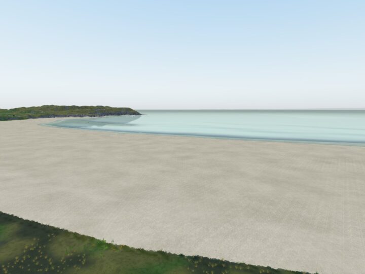
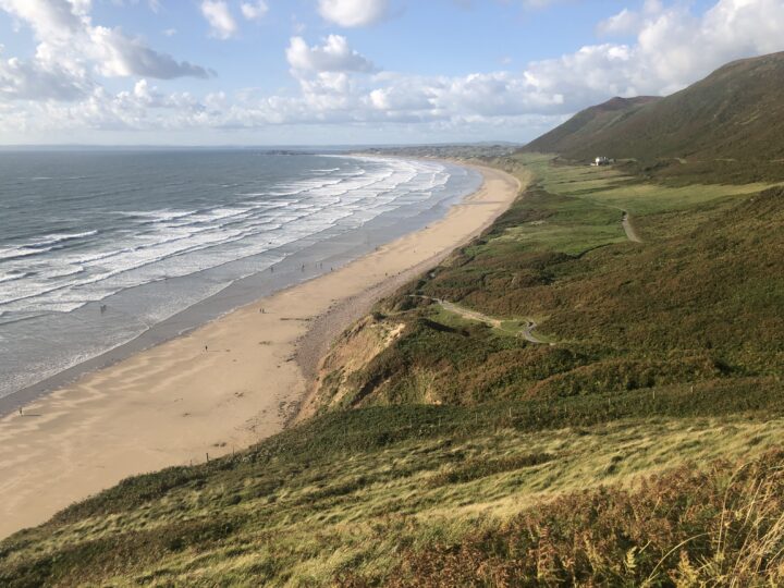
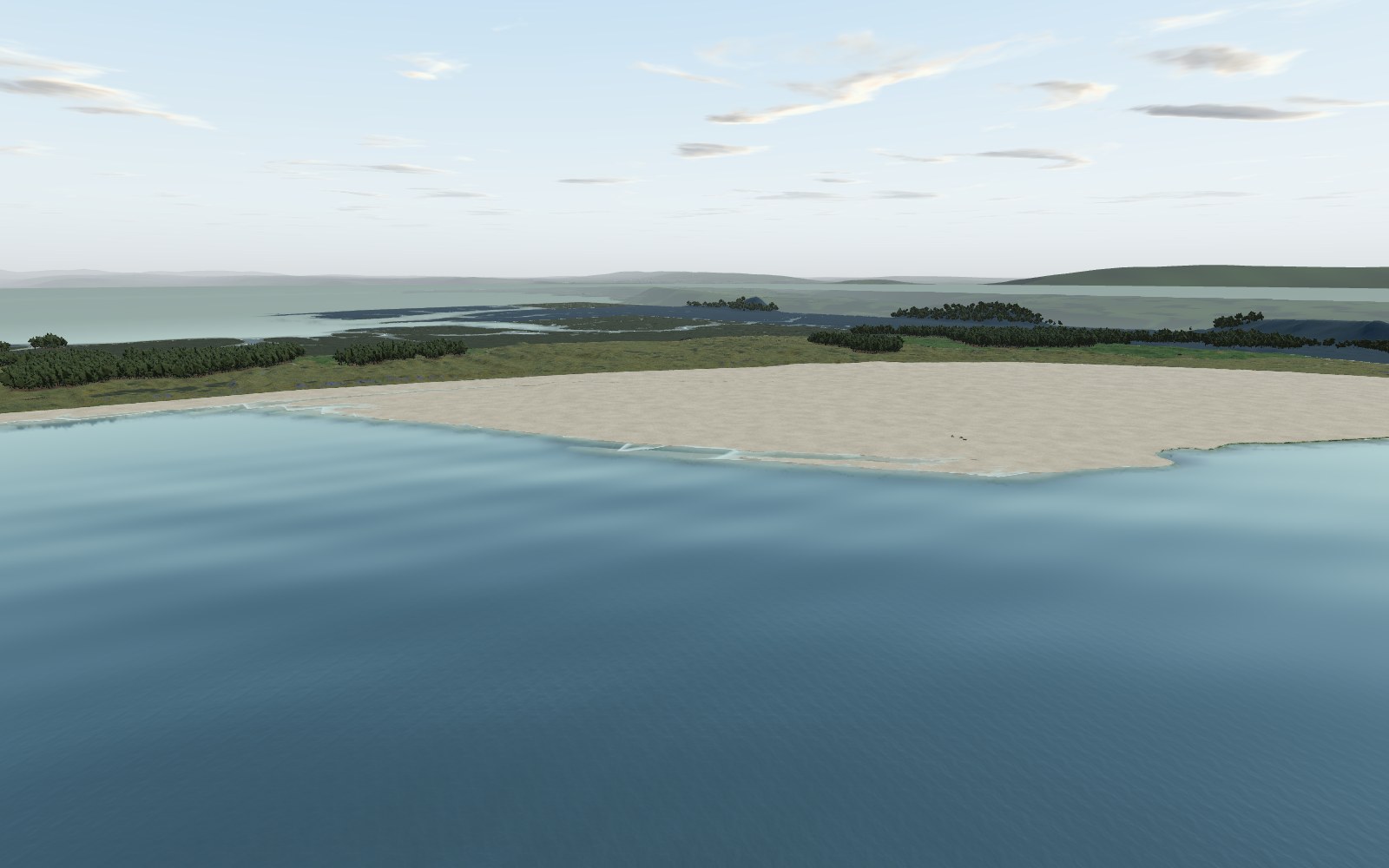
Whiteford is Gower at its most remote: two miles of empty sand on the peninsula’s northern tip, backed by pine woods and dunes and ending at a Victorian cast-iron lighthouse standing out in the tide. There is no road in, so you walk through woods and past saltmarsh to one of the quietest and richest wildlife beaches in Wales.
Why it’s worth the trip
This is the most northerly beach on Gower, on the edge of the Loughor estuary and reached only on foot from Llanmadoc. Behind the sand lies Whiteford Burrows, the peninsula’s largest dune system, owned by the National Trust and run with Natural Resources Wales as a National Nature Reserve.
In summer the damp hollows in the dunes fill with orchids and butterflies; in winter the estuary and Cwm Ivy marsh fill with waders. The classic day is a loop: down to Cwm Ivy, through the pines along the coast path to Whiteford Point, back along the beach, and a stop at the bird hides over the new saltmarsh on the way home.
Make a wild day of it
Wildlife
Whiteford is one of the richest dune systems in the UK, with at least 250 kinds of flowering plant on its lime-rich shell sand. In June and July the dune slacks are thick with marsh helleborine and early marsh, southern marsh and fragrant orchids, with dune gentian and the tiny liverwort petalwort. Look for small blue, dark green fritillary and grayling butterflies, and scarlet tiger moths flying by day. The dunes even hold the UK’s largest known population of the narrow-mouthed whorl snail.
From October to March the Burry Inlet is internationally important for waders and wildfowl: oystercatchers, curlews, knot, pintail, golden plover, lapwings, redshanks and snipe. Reed and sedge warblers breed in the reedbeds, and the National Trust’s Cwm Ivy trail mentions kingfishers and otters on the new saltmarsh, so linger at the hides.
Rock pools and caves
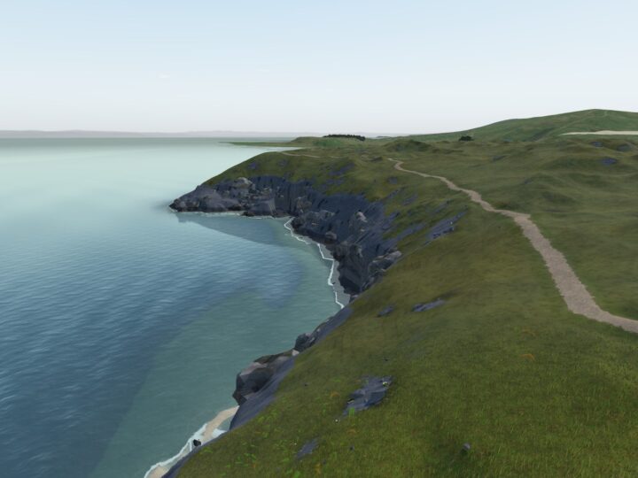
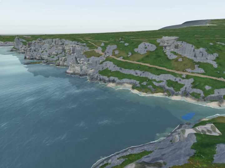
It is mostly open sand, but the rocky shore round Cwm Ivy Tor and the outcrops at the southern end have pools at low tide, with eelgrass, seaweeds and common piddocks boring into the rock. Climb Cwm Ivy Tor for a view over the estuary, dunes and saltmarsh.
The rocks
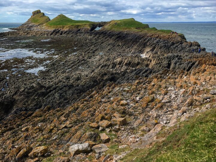
The dunes are thought to have built up only in the late medieval period, on the end of a limestone ridge at Cwm Ivy. Crushed shell makes the sand limy, which gives the flowers their chalk-downland feel. The lighthouse stands on 88 wooden piles driven into glacial moraine.
History and stories
Whiteford Lighthouse was built in 1865 to a design by John Bowen of Llanelli. At 13.5 m and made of curved cast-iron plates, it is the only wave-swept cast-iron tower of its size in Britain. The light went out in the early 20th century, and the tower is now Grade II* listed and a scheduled monument.
On 22 January 1868, in the Whiteford Disaster, a fleet of coal-laden sailing ships leaving Llanelli was dragged onto the banks off the point when the wind dropped and the tide turned, and nineteen lives were lost. The dunes hide medieval shell middens and the remains of a Second World War lookout. In 2014 the sea broke through the old sea wall at Cwm Ivy, and rather than rebuild it, the National Trust and Natural Resources Wales let a new saltmarsh form.
Tides and safety
The sands are vast and flat, so the tide floods across them fast, and the outer sands are no place to be on a rising tide. Only try for the lighthouse on a big spring low, set off on a falling tide and turn back promptly: a deeper channel between the point and the tower fills first and can block your way back, and the sand round the tower is soft and in places sinking. The tower is crumbling, so do not climb it or stand beneath it.
Strong currents run out of the estuary near the river mouth, so take extreme care if you swim; it is no beach for weak swimmers or children in the water, and there are no lifeguards. Check tide times before walking out, keep above the tideline at high water, and if you are cut off call 999 for the Coastguard.
When to go
Low tide gives you the widest sands; save the lighthouse for a big spring low. June and July are best for orchids and butterflies, October to March for wintering birds, especially on a rising tide when they are pushed close in. Watch them from the shore or the hides, not out on the flats.
The walk in keeps Whiteford quiet all year. Head north towards the point and you will often have miles of beach to yourself, especially on weekday mornings and in winter.
Good to know
- Toilets: none in the reserve. Cwm Ivy Cafe has toilets for customers.
- Food and drink: Cwm Ivy Cafe and Crafts (check it is open), the Britannia Inn and Llanmadoc Community Shop. Nothing beyond Cwm Ivy, so carry water.
- Dogs: allowed all year, on a short lead around the ponies, cattle and sheep, and kept out of the fenced areas that protect breeding birds.
- Lifeguards: none.
- Access: not suitable for wheelchairs or pushchairs; the paths are sandy and uneven and the lane to Cwm Ivy is steep.
- Naturists: the beach has long been a quiet spot used by naturists.