The Wild Days guide
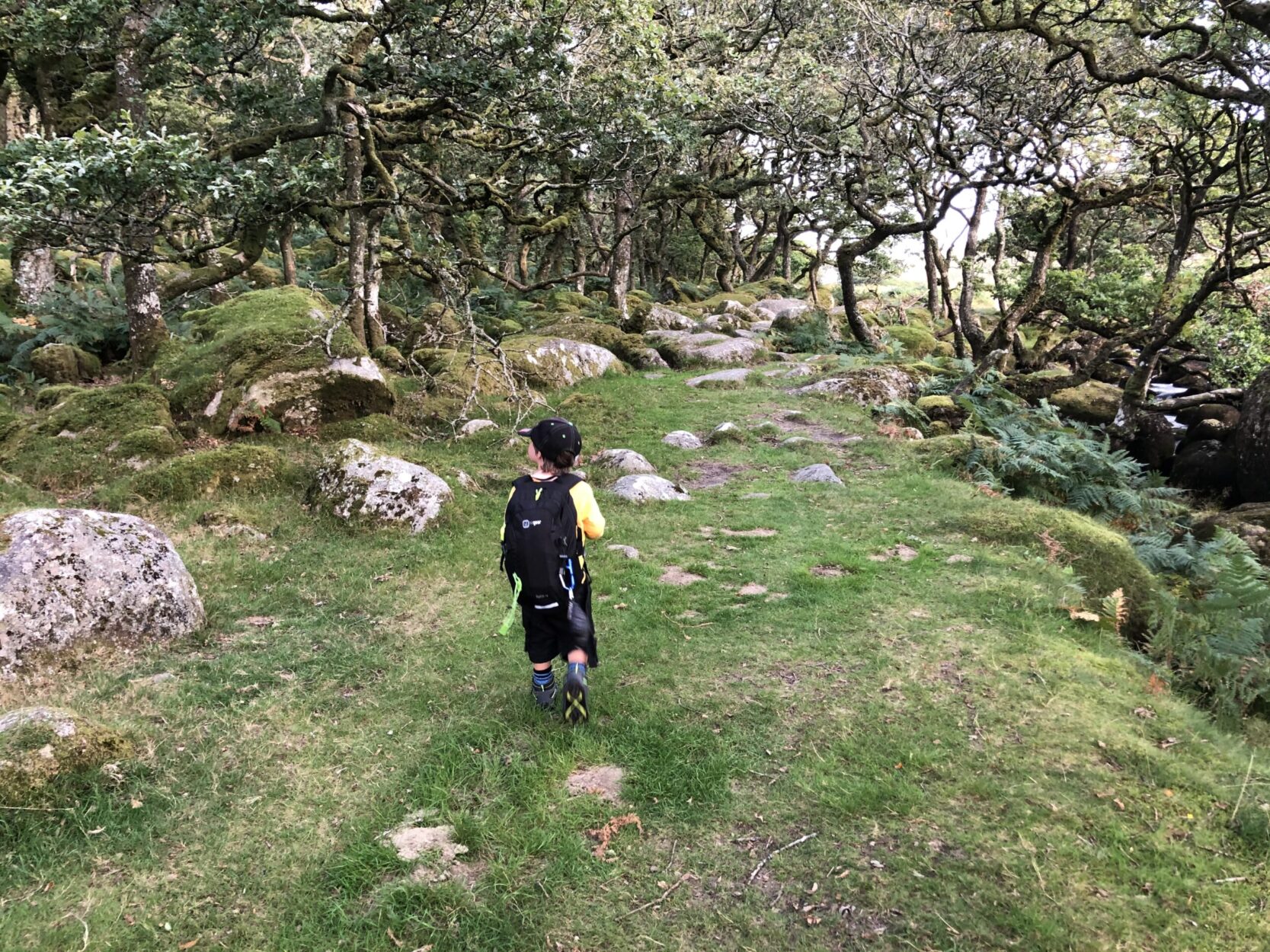
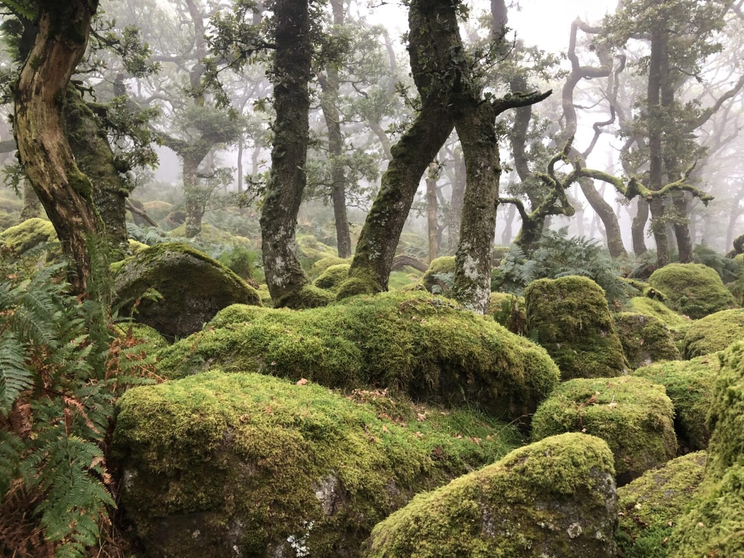
Black A Tor Copse has to be one of the top attractions on Dartmoor. It’s one of the best preserved high altitude oak woodlands in the UK. The scenery is jaw-dropping. You have giant rocks the size of lorries, the copse is made largely of oak trees that look straight out of a magical Disney story with a quietness within that calms the soul.
The best part about the copse is that it’s a bit of trek to get there. This keeps it fairly quiet. We have been there in misty, almost zero visibility conditions and also in the peak of summer. It can be enjoyed, with the right equipment just as much in both. The copse in the darker, mistier weathers really gives you the impression of what it must have been like for the workers that used to live on Dartmoor. Tales of lost hikers & ghost stories instantly spring to mind when the weather is moist and the sky is dark.
In the late spring and summer it provides the perfect place to wild camp. The copse itself is in a non-camping zone, but just on the other side of the river it’s permitted. Avoid ground fires on Dartmoor at all costs, use a gas burner or something that doesn’t heat the ground. The last thing you want to do is cause a fire, the grass will go up fast in warm weather and be out of control before you know it.
Access to the copse is easiest from the Meldon Reservoir. You can simply walk upstream from the reservoir following the river and you’ll end up at the copse. There is a well worn trail taking you there.
IMPORTANT
If you’re hiking across Dartmoor, especially in the North you’ll want to check the MOD website as you’re essentially walking on a firing range, both day and night. There are red and white boundary markers to the firing range that can be easily missed if not paying attention. You can check for the latest firing range information here.
Recommended Hike (includes travelling on the firing range)
If you want to see a little more of the area, then a walk up to Yes Tor following onto High Willhays Tor will enable you to see a vast amount of North Dartmoor. These two peaks being Dartmoor’s tallest.
This isn’t an easy trek, the climbs can be steep and you’ll be making some of your own paths across the moor. You’ll need plenty of water to keep you going and a few snacks as a minimum, plus your survival essentials.
You’ll travel across the Meldon Reservoir and up the valley to the west of it. There are two valleys very similar, the one on your left leads towards West Mill Tor, the one of the right towards Yes Tor. You cannot clearly see the Tors from here so you’ll need to take bearings and trust them. If you take the valley on your left, it winds up and up until you can see a tour in front of you, that’s West Mill Tor. You’ll want the tor on your right, Yes Tor. It’s an area easy to get lost as the features are similar all around, so please ensure you’re up-together with your compass navigation.
Once you summit Yes Tor, navigate south towards High Willhays Tor, there is a path which takes you there from the south point of Yes Tor.
Once at High Willhays, you’ll begin the Westerly decent to Black-A-Tor. This sits just above the copse. You’ll be heading towards a valley with hopefully a lovely view of the sun going down in autumn/winter months or the sun will be on your face during the spring/summer months.
Once at Black-A-Tor, descend further into the valley and you’ll be presented with the copse. Take a route to the right that keeps you wide of the boulder field. It’s tough going and easy to snap an ankle on the rocks hidden beneath the bracken, so take extra care should you venture into it.
To return from the copse, simply follow the river downstream all the way to the reservoir. There is a path that takes you all the way around the reservoir back to the car park.