The Wild Days guide
Worms Head is a mile of limestone serpent lying off the western tip of Gower, and for a few hours either side of low water you can walk out along its back. Cross a causeway of mussels and rock pools, climb onto the grassy Inner Head and listen for the blowhole booming at the far end, with seals below and seabirds wheeling off the cliffs.
Why it’s worth the trip
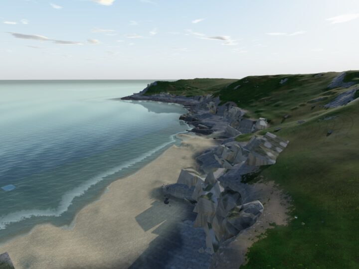
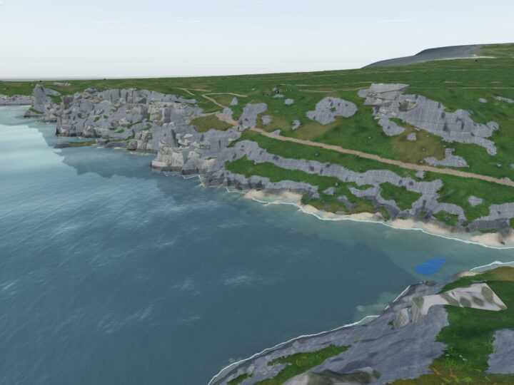
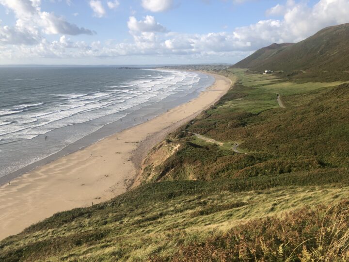
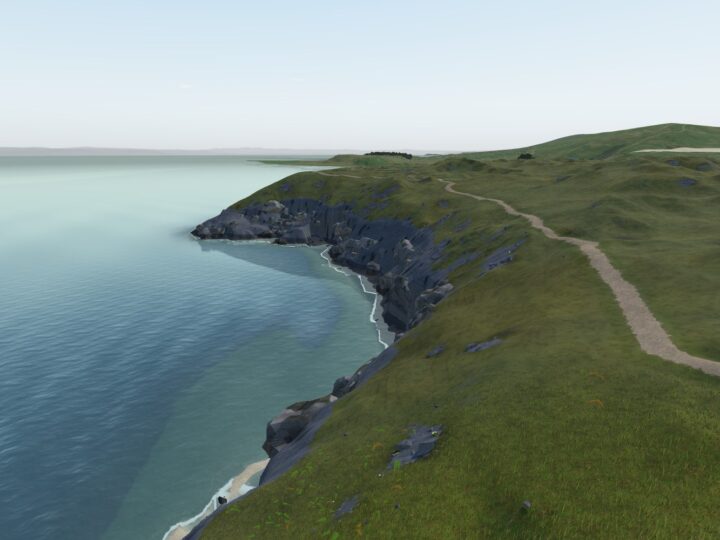
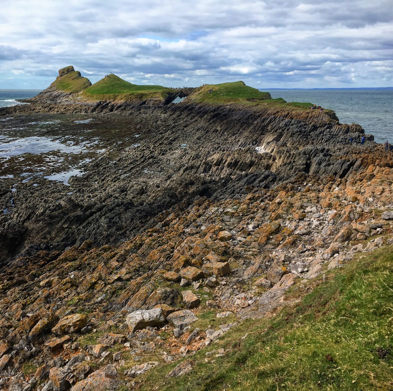
The name comes from an Old English word for a sea serpent, and from the clifftop at Rhossili you can see why: the Inner Head, Low Neck, Middle Head and Outer Head rise and dip like a dragon’s back stretched out to sea.
The whole day is set by the tide. And if it is against you, the clifftop by the Coastwatch lookout still gives you the full view without any of the risk.
Make a wild day of it
Crossing to the Worms
Be at the lookout above Kitchen Corner early, read the posted safe times and drop down to the causeway, the Shipway, as soon as the window opens. Keep to its northern side and take it steadily: the weed is slippery and the rock sharp, so grippy boots matter more than speed. A steep path climbs onto the flat Inner Head, where most people turn back. Push on over the folded rocks of the Low Neck and across the Devil’s Bridge, a natural arch, onto the Outer Head. Spend the first half of the window going out and save the rest for the pools on the way home.
Rock pools and caves
At low water the causeway is one huge rock pool: mussel beds, barnacles, anemones and weedy gullies between ribs of limestone. Near the tip of the Outer Head, just north of the path, a blowhole opens above a sea cave you can only reach from the water. In a swell it booms and spouts.
Wildlife
The Worm is part of the Gower Coast National Nature Reserve. In spring and summer kittiwakes, razorbills, guillemots, fulmars and shags nest on the Outer Head; puffins once bred here but were lost to rats and only turn up now and then. Look down from the north side for grey seals on the ledges, and along the clifftops for choughs, back on this coast since the 1990s. From July, Manx shearwaters and storm petrels can pass close inshore.
The rocks
The Worm is hard Carboniferous limestone, which is why it survives while the softer Old Red Sandstone of Rhossili Down has been worn back into the bay. The folding shows beautifully on the Low Neck and in the cliff at Kitchen Corner. The flat top of the Inner Head is an old wave-cut platform at around 60 m, and the Devil’s Bridge is what is left of a collapsed sea cave.
History and stories
On the way out you pass Old Castle, an Iron Age promontory fort on the cliff edge. Dylan Thomas was famously stranded out here for a night by the tide, and later set a short story on the headland. Come home along the beach and you pass the ribs of the Helvetia, wrecked in 1887.
Tides and safety
This is a genuinely dangerous tidal island, and people are cut off here every year. The causeway is open only about 2.5 hours either side of low water. Check the safe crossing times posted at the coastguard lookout, or on the National Trust page for Rhossili, and only start across on a falling tide.
Reaching the Outer Head and back takes most of the window, so fix your turn-round time and stick to it. Once the causeway floods the current is ferocious: never try to wade or swim back. If you are cut off, stay on the island, keep to high ground and call 999 for the Coastguard.
The Outer Head is closed each year for nesting seabirds. The current published closure is 1 February to 31 July, though older guides say 1 March to 31 August, so check the notices at the lookout and the National Trust shop. Keep to the main paths, as there have been fatal falls along this coast. There are no lifeguards and it is not a place to swim.
When to go
Any time of year, as long as you cross on a falling tide inside the window. Late spring to midsummer is best for seabirds, which you can still watch from the Inner Head while the Outer Head is closed, and a calm day with a moderate swell gets the blowhole going.
For the emptiest crossing, go at the very start of a morning window on a weekday outside the school holidays. On busy days, walk south from the lookout towards Tears Point and Fall Bay instead, which few people bother with.
Good to know
- Toilets: 24-hour toilets with RADAR access, baby change and an outdoor shower at the Rhossili car park. Nothing on the headland.
- Food and drink: cafes, a beach shop, the Worm’s Head Hotel and the National Trust shop in Rhossili. Nothing beyond the village, so carry water.
- Dogs: on a lead on the headland, where livestock graze and the drops are sheer. The sharp, barnacled causeway is not recommended for dogs.
- Lifeguards: none.
- Coastwatch: the lookout is on 01792 390167 and VHF channel 65. In an emergency call 999 for the Coastguard.