The Wild Days guide
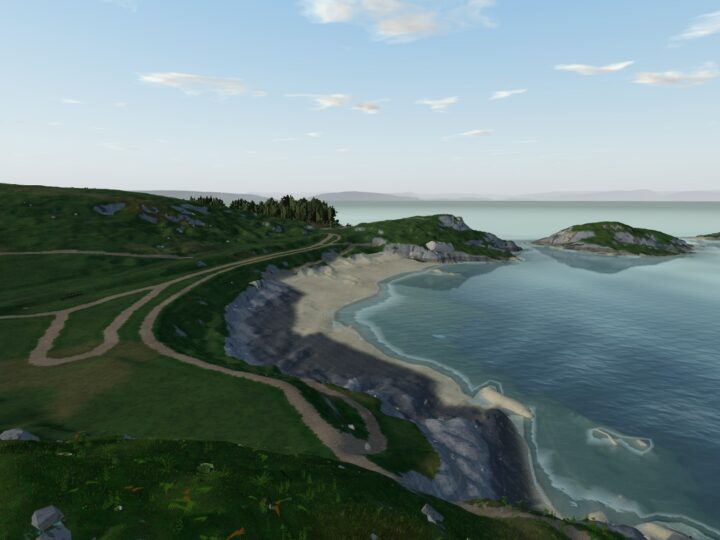
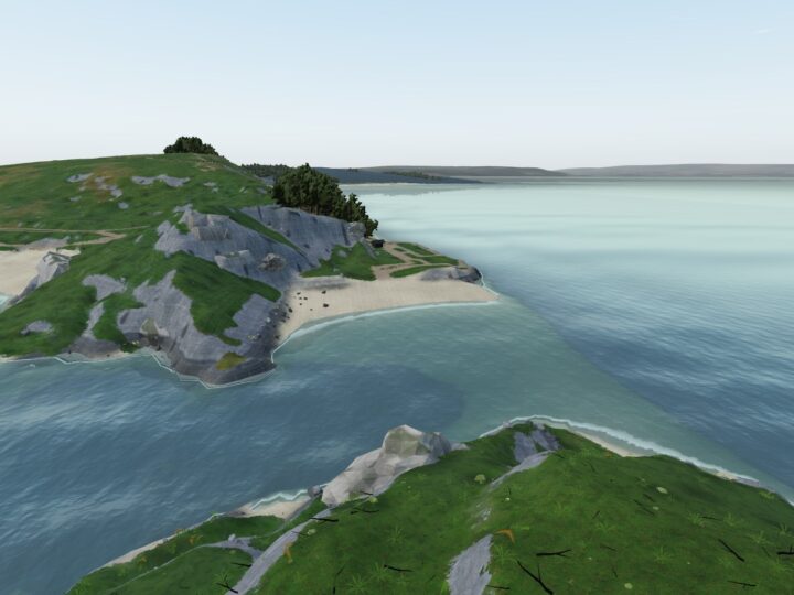
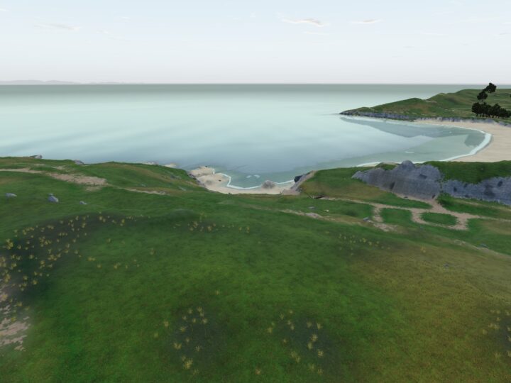
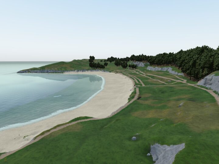
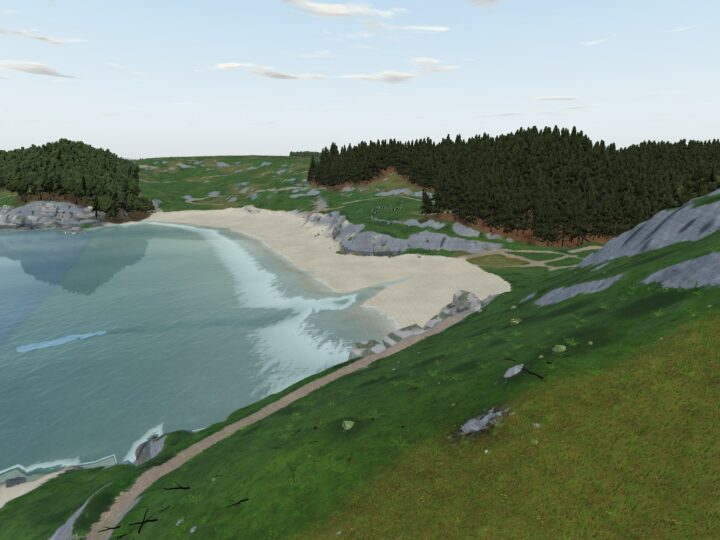
Limeslade is where Swansea Bay’s long city curve gives way to the cliffs and coves of Gower. It is a tiny, sheltered limestone cove with a patch of sand that shows as the tide drops, weedy reefs full of rock pools either side, and an old-school ice cream parlour on the road above.
Why it’s worth the trip
It sits right on the Wales Coast Path, the natural first stop on the cliff walk west to Rotherslade and Langland, and the lighthouse and pier are only a few minutes east.
At low water the reefs give some of the easiest rock pooling on this stretch. At high water it becomes a little swimming cove with the sea right up against the rocks. Climb the knoll of Tutt Head, between here and Bracelet Bay, for the classic view back to the lighthouse.
Make a wild day of it
Rock pools
Arrive about two hours before low tide so you follow the water down rather than racing it back. Lift the wrack gently and look for crabs, beadlet anemones, limpets and small fish; seashore events at Bracelet Bay next door turn up starfish and sponges too. Put every rock back as you found it.
Swimming
Limeslade is a designated bathing water, rated Good in 2025, though its official profile notes a history of algal blooms. Swim on a calm day from mid tide upwards, when there is water over the sand and you do not have to clamber over slippery reef to get in. A still morning on the flood tide, before the cafe opens and the car parks fill, is perfect.
Keep off the rocks in any swell and never swim out towards Mumbles Head, where the tide runs hard between the islands.
Wildlife
In winter, turnstones work the weedy rocks between here and Mumbles Head, with flocks of fifty to two hundred counted around the head. Mediterranean gulls loaf on the reefs from late summer into autumn, and on calm winter days scan the sea for common scoter.
The rocks
The cove is cut into Carboniferous Limestone at the eastern end of the Langland Anticline, a great fold that plunges east and surfaces as Mumbles Head and its islands. A vein of iron ore runs through Mumbles Hill and was dug on a small scale, including at the head of this bay. Slade is the Gower word for a small valley opening to the sea.
History and stories
From 1844 limestone was quarried along these cliffs; so much was taken that an inquiry was held in 1850 over the damage to the sheltered anchorage. Tutt Head carried a coastguard lookout from about the 1850s, was a Royal Navy Port War Signal Station from 1942 to 1945, with searchlights sweeping the water, and kept a coastguard station until 2015.
The small iron working beside the road at the head of the bay is believed locally to be Roman. It is sealed off, so do not go looking for a way in. Forte’s has sold ice cream here since the 1930s.
Tides and safety
The upper Bristol Channel has one of the biggest tidal ranges in the world; the RNLI calls it megatidal, second only to Canada’s Bay of Fundy. At high water there is almost no beach, just sea against rock and sea wall. At low water the cove drains right back over the reefs.
The tide comes back fast over flat rock, so keep looking up while you are pooling and do not get stranded on an outlying reef. The weed is slippery. West of the bay, in July 2026 the Mumbles lifeboat recovered two teenagers who had been tombstoning near Ginny’s Guy, between Limeslade and Langland, and were cut off by the rising tide.
Just east, the two islands of Mumbles Head are cut off at high tide, with strong rips between them. There are no lifeguards here; the nearest summer patrols are at Langland and Caswell. Check a Mumbles tide table, and in an emergency call 999 and ask for the Coastguard.
When to go
Spring and early autumn are lovely: a falling tide about two hours before low water for pools, or mid to high tide on a calm, sunny morning for a swim. Winter brings the turnstones, quiet walking and dogs back on the beach.
The cove is tiny and the Bracelet Bay car park fills on summer Sundays, so come early or outside the school holidays. For real quiet, keep walking west: the cliffs past Rams Tor are far emptier than Mumbles.
Good to know
- Toilets: accessible toilets at Bracelet Bay car park, a few minutes’ walk. April to September they open between 7 and 9am and close between 7 and 9pm; in winter they close between 4 and 5.30pm.
- Food and drink: Forte’s ice cream parlour and kiosk right above the bay, with coffee, breakfasts and light meals. The kiosk reopened in 2024 while the main cafe was being refurbished, so check what is open. The Lighthouse Bar & Kitchen overlooks Bracelet Bay, and Mumbles Pier has cafes and fish and chips.
- Dogs: not allowed on the beach from 1 May to 30 September (guide dogs exempt); welcome October to April.
- Lifeguards: none.