The Wild Days guide
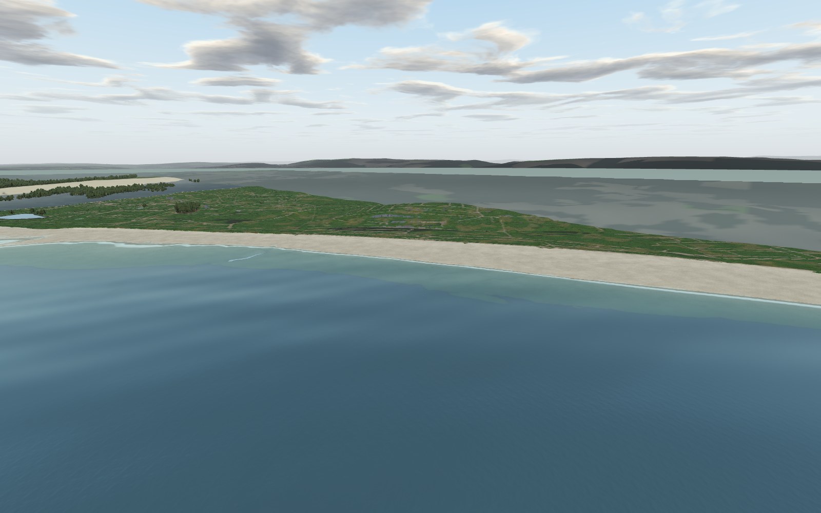
You do not expect wildness ten minutes from a city centre, but at low tide Swansea Bay’s sands stretch for kilometres into a huge, quiet, shining space. This is Wales’s big city beach, curving from the Marina towards Mumbles, with a traffic-free promenade, growing dunes and Victoria Park behind it and the lighthouse on the horizon.
Why it’s worth the trip
At low tide this is one of the widest open spaces in the country. Come at sunrise, when the light comes up behind the docks and turns the wet sand to copper, or at dusk with the lighthouse winking at the far end of the bay.
It is getting wilder, too. The council has been letting dunes rebuild near the old Civic Centre and the Slip, and marram grass is spreading where there was once bare sand. It is also one of the most accessible beaches in Wales for getting close to the sea.
Make a wild day of it
Swimming
Swansea Bay is a designated bathing water, sampled opposite the Guildhall slip, and was rated Good in 2025. Swim around high tide on a calm day, when the water is close to the prom; at low tide it is a long walk out to waist-deep water. There are no lifeguards, so swim with others and use a tow float, and give it a day or two after heavy rain, when river and storm runoff can affect the water.
The bay rarely has a rideable wave, but kitesurfing, windsurfing and paddleboarding are popular, with windsurfers out near Sketty Lane mainly in the couple of hours either side of high tide. 360 Beach and Water Sports on Mumbles Road and The Secret are the local hubs.
Wildlife
Gulls and waders feed along the tideline all year, with the biggest numbers from autumn to spring. In late summer and winter scan the flocks for Mediterranean gulls among the oystercatchers. Ringed plover and sanderling turn up more towards Blackpill, where the shore is a protected SSSI.
The rocks
The bay is a broad, shallow embayment cut into Devonian and Carboniferous sandstones and mudstones, buried under sand, gravel and mud laid down since the last Ice Age; even the inner bay is less than 10 metres deep. The council clears hundreds of tonnes of blown sand from the prom every year, and now uses chestnut fencing to grow dunes instead. Watch the lower shore too: stumps of an ancient forest, drowned as the sea rose after the Ice Age, are exposed on the bay’s beaches from time to time.
History and stories
The Swansea and Mumbles Railway, the first in the world to carry fare-paying passengers from 1807, ran along the back of this beach until 1960, and the promenade follows its route. The Slip bridge opened in 1915 to carry people from Victoria Park over the road and railways to the sands, and the Patti Pavilion, a winter garden given to the town by the opera singer Adelina Patti, was re-erected in the park in 1920.
Tides and safety
The tidal range here is among the largest on the planet, and the beach is so flat that the tide can sweep in over hundreds of metres surprisingly fast, filling gullies behind you. Do not walk far out on a rising tide, and check a Swansea tide table first.
There are patches of soft sand and mud on the lower shore. If someone gets stuck, keep them still, spread their weight and call 999 for the Coastguard rather than going in after them. There are no lifeguards: RNLI patrols stopped here in 2021 and moved to Langland, Caswell, Port Eynon and Three Cliffs. On windy days sand blows hard across the prom, and kites and kitesurfers use the beach, so keep clear of their lines.
When to go
Low tide at sunrise or sunset gives you the full sweep of the sands and the best light. A high tide on a calm summer evening is perfect for a swim, and autumn and winter bring the birds and the emptiest beach. Avoid the free Wales Airshow weekend in July (25 and 26 July in 2026) unless you are going for the planes.
The crowds stay near the city end and the cafes. Walk 15 minutes west from The Secret towards Sketty Lane, or head out to the low-water line, and you will have space to yourself. Weekday mornings and winter are quietest.
Good to know
- Toilets: council-run toilets at The Secret on Mumbles Road, including a Changing Places toilet, open around 9am to 5pm. Since the Civic Centre closed to the public on 1 December 2025, five portable cabins (one accessible) stand in the upper car park beside it.
- Food and drink: The Secret Beach Bar & Kitchen opposite St Helen’s (breakfast to dinner, open late Tuesday to Sunday), Adelina’s Bar and Kitchen at the Patti Pavilion, the Victoria Park kiosk, and The Observatory and other restaurants round the Marina.
- Dogs: from 1 May to 30 September dogs are banned between the River Tawe and the slipway opposite Victoria Park, and between Sketty Lane and the West Cross Inn slipway. Between the Victoria Park slipway and Sketty Lane they are welcome all year. Leads on the whole promenade; guide dogs exempt.
- Lifeguards: none.