The Wild Days guide
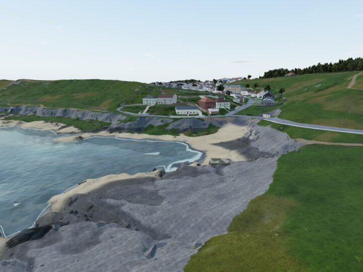
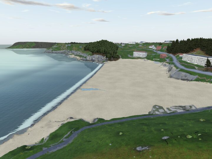
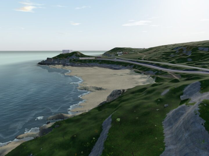
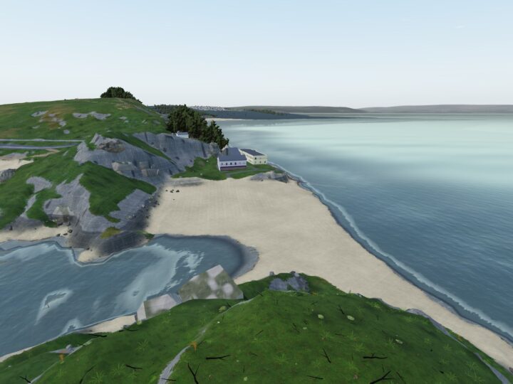
Rotherslade is Langland’s little neighbour, and it comes into its own as the tide rises. When the sea swallows Langland’s sand, this cove under the cliffs is cut off as its own sheltered pocket, with a cafe at the top of the steps and the cliff path running east round Rams Tor towards Mumbles Head.
Why it’s worth the trip
It is a sociable little spot for a coffee and a dip, and the big rock at the front of the bay, known locally as Donkey Rock, has been a gathering place for generations. Sometimes called Little Langland, it feels smaller and more intimate than its big neighbour.
At low tide you can walk west onto Langland’s sands or poke about the boulders and pools under the cliffs. Then follow the coast path east round Rams Tor to Limeslade, where seals sometimes haul out on the rocks, and on to Bracelet Bay and the lighthouse on Mumbles Head.
Make a wild day of it
Swimming
Rotherslade is fine for a calm-day dip, especially around high tide when the cove is sheltered, but there is no lifeguard. In any swell, or if you are not a strong swimmer, swim between the flags at Langland instead. It is not suited to watersports, and surfers head to Langland; the Crab Island reef, off the eastern end of Langland Bay towards Rams Tor, is a powerful low-tide right-hander for experienced surfers only.
Rock pools and caves
At low tide there are boulders and rock pools under the cliffs, and there is steep bouldering on good rock on the west side, though high tides affect it. More pools wait to the east, towards Rams Tor and Limeslade.
Wildlife
Seals are sometimes seen basking on the rocks at nearby Limeslade. Above the bay, Mumbles Hill Nature Reserve has woodland and limestone grassland. Seabirds work the headlands between here and Mumbles Head, and choughs, peregrines and ravens use this stretch of cliffs.
The rocks
The cliffs and crags around Rotherslade, including Rams Tor and Crab Island, are Carboniferous limestone on the flanks of the Langland Anticline, the same great fold that shapes Langland and Bracelet Bay.
History and stories
Rotherslade once had three hotels. The Osborne Hotel on the hill above is where the Impressionist painter Alfred Sisley stayed in 1897 when he painted Langland Bay, and the Wittemberg was cut back to its Victorian core and reopened as the Little Langland Hotel.
In 1927 Swansea Town Council built a concrete shelter on the beach; it was demolished in 2000 and replaced by the steps you use today. As for Donkey Rock, some say its proper name is Storr’s Rock.
Tides and safety
Rotherslade is a separate beach at high tide and joins Langland as the tide falls, roughly two hours after high water. There is no lifeguard. With a moderate to large swell at high tide, currents and a strong undertow make it unsafe for weaker swimmers.
The rocks are slippery. Jumping from Donkey Rock or the ledges is risky, because the depth changes with the tide and can hide rocks. If you walk the sand through to Langland at low tide, keep an eye on the incoming water.
When to go
Calm summer evenings around high tide are perfect for a sheltered dip. Come at low tide to explore the rocks and walk through to Langland, and early on an out-of-season morning for the quietest visit.
For more space, come at high tide on a weekday, or walk on east round Rams Tor for quieter ledges.
Good to know
- Toilets: none at the cove. The nearest are at Langland Bay, including an accessible toilet and an outdoor shower.
- Food and drink: Surfside Cafe sits directly above the cove (dogs welcome), with Langland’s Brasserie and the kiosks at Langland a short walk west.
- Dogs: banned from the beach from 1 May to 30 September (guide dogs exempt) and allowed the rest of the year. Keep them on a lead on the promenade.
- Lifeguards: none. The nearest patrolled beach is Langland.
- Access: steps only, with no wheelchair access to the beach. The cafe terrace and the tarmac path from Langland are an easier way to enjoy the view.