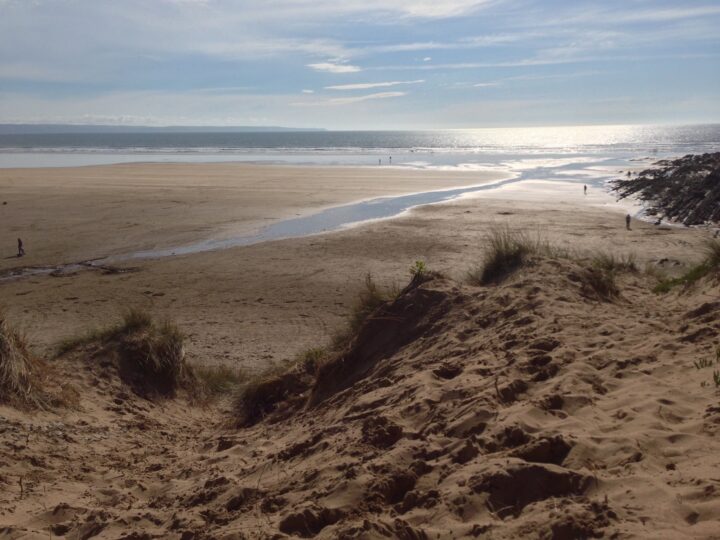
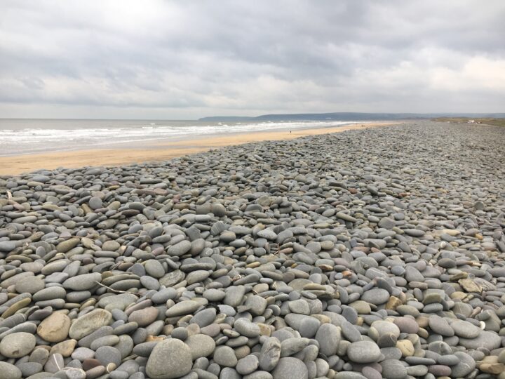
This is not a beach. North Tail is the drying sandbank at the northern end of the Bideford Bar, off the far southern end of Saunton Sands. You can see it from the beach, but never walk out to it.
Why it’s worth the trip
The southern end of Saunton Sands is one of the emptiest stretches of beach in Devon, backed by the great dunes of Braunton Burrows. Here the beach turns the corner into the river mouth, and at low tide the banks of the bar rise offshore with surf breaking over them.
Make a wild day of it
Walk the coast path from Braunton round the Burrows to Saunton, through the dunes where American troops trained for D-Day, or explore the Burrows’ slacks and orchids from Sandy Lane car park.
Tides and safety
The bar is shallow, always moving and very dangerous; the tide races through the river mouth and cuts off the banks quickly. Do not walk or swim out. Braunton Burrows is a Ministry of Defence training area: there is no live firing, but follow the signs and staff, expect vehicles and loud noises, and never touch old metal or munitions you find. In an emergency call 999 and ask for the Coastguard.
When to go
Low tide on a clear day. Early summer is best for flowers in the dunes on the way.
Good to know
Parking: Sandy Lane car park (pay) or Broadsands at the end of the Crow Point toll road.
Facilities: none at this end; cafe and toilets by the main Saunton Sands car park.
Dogs: allowed on Saunton Sands all year; mind the cattle and the birds.
Getting there and parking
1
Sandy Lane car park, Braunton Burrows
Pay car park; check the board on site
The nearest car park to the southern half of Saunton Sands, at the edge of the dunes; about 1.5 km across the Burrows to the beach. No facilities.
The walk in. From Sandy Lane car park cross the dunes to the beach and look south over the river mouth. Stay on the upper beach.
By bus. Stagecoach South West bus 21C runs Monday to Saturday between Croyde, Saunton Sands, Braunton and Barnstaple; buses 21B and 303 also serve Braunton. Check times before you travel.
Traced on the paths with Ghrups trail data. Dashed: along the beach or over open ground.
Braunton to Saunton round Braunton Burrows (South West Coast Path)
Moderate
6.8 mi (10.9 km)3h48 m uplinear
Start: Braunton village centre
A long, flat walk that links Braunton with Saunton Sands on the South West Coast Path. From the village centre walk down to Velator Quay, Braunton's old port, then follow the coast path beside the River Caen and along the quiet toll road across the grazing marshes to the White House and Broadsands car park. From here the path turns north into Braunton Burrows on the American Road, a sandy track widened for American troops training for D-Day. It runs behind the dunes to Sandy Lane car park and on to Saunton and the beach car park, with cafe and toilets. For the view over the river mouth and North Tail, detour from Broadsands along the boardwalk to the beach. Bus 21C runs back from Saunton Sands to Braunton, Monday to Saturday; check times before you travel.
3 mtop 37 m
Gravel 34%
Path 32%
Earth 22%
Grass 8%
Sand 5%
2h53 at a steady pace (2h10 brisk, 3h53 relaxed)
Gentle
Through Braunton Burrows
Trail data by Ghrups
Routes are traced from open map data. Check the tide times before you set off, and carry a proper map.