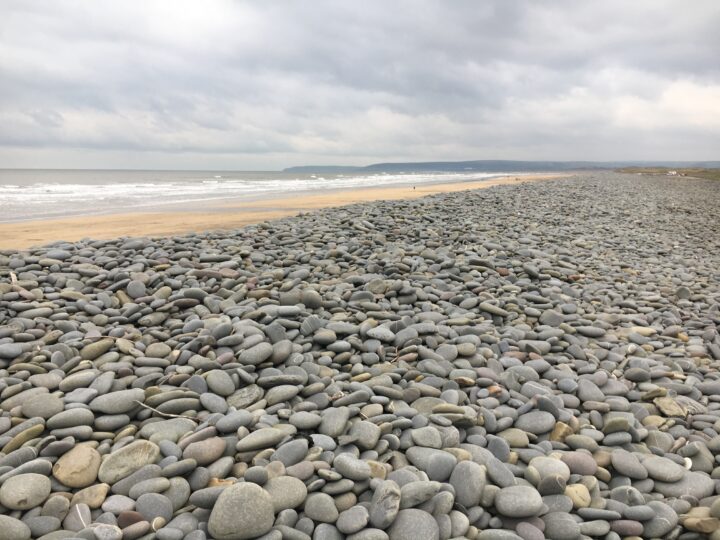
This is not a beach. Pulley Ridge is a low ridge of sand, cobbles and mussel bed in the middle of the Taw-Torridge estuary mouth, between Appledore and Crow Point. The tide covers it twice a day. Watch it from the shore at Crow Point.
Why it’s worth the trip
As the tide drops, ridges of sand and mussels rise out of the river mouth and fill with resting birds, with Appledore’s houses and the long arm of Northam Burrows behind. Crow Point, the sandy tip of Braunton Burrows, is the best place to watch.
Make a wild day of it
The Crow Point Trail crosses the dunes on a boardwalk, past marsh orchids and wet slacks, to the beach and the little white light at the point. Go gently near the point: up to 2,000 oystercatchers roost there.
Tides and safety
The river runs fast past Crow Point, and people are regularly cut off on the sands here. Never walk or wade out to the banks, and do not swim. Braunton Burrows is also a Ministry of Defence training area: there is no live firing, but follow the signs, and never touch old metal or munitions you find. In an emergency call 999 and ask for the Coastguard.
When to go
A falling tide on a calm day, when the banks appear. Spring and summer bring the dune flowers.
Good to know
Parking: Broadsands car park at the end of the Crow Point toll road from Velator (small toll, cash).
Facilities: none at Crow Point; cafes and pubs in Braunton.
Dogs: on a lead on the path to the beach, and away from the birds.
Getting there and parking
1
Broadsands (Crow Point) car park
Small toll on the Crow Point toll road at Velator, which covers parking (reported as £2.50, cash; check on the day).
Reached along the Crow Point toll road across Braunton Marsh from Velator, past the White House. The start of the Crow Point Trail.
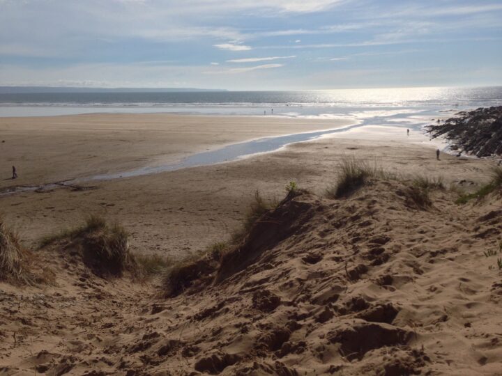
The walk in. View from the beach at the end of the Crow Point boardwalk, about 1 km from Broadsands car park. Do not cross the sands.
By bus. Stagecoach South West buses 21B, 21C and 303 serve Braunton; Crow Point is about 4 km on foot from the village via Velator and the toll road. Check times before you travel.
Traced on the paths with Ghrups trail data. Dashed: along the beach or over open ground.
Crow Point Trail
Easy
1.9 mi (3.1 km)1h30 m upcircular
Start: Broadsands car park
A short circular walk round the southern tip of Braunton Burrows, the heart of North Devon's UNESCO Biosphere Reserve. From Broadsands car park follow the main track to a crossroads and keep straight on along the boardwalk, which crosses herb-rich dune pasture and damp slacks where marsh orchids and creeping willow grow, then climbs over the dunes to the beach. Here you look across the river mouth to Appledore and Northam Burrows, with Pulley Ridge and the other banks showing at low tide. Walk south past Crow Neck to the small white light on Crow Point, then round by the saltmarsh of Broadsands and back through the dunes on the end of the American Road. Keep dogs under close control and give the roosting birds plenty of room. Stay on the shore: never walk out on the sands.
3 mtop 13 m
Sand 54%
Earth 28%
Path 17%
Open ground 1%
53 min at a steady pace (42 min brisk, 1h11 relaxed)
Gentle
Through Braunton Burrows
Trail data by Ghrups
Routes are traced from open map data. Check the tide times before you set off, and carry a proper map.